The Pacific Ocean does not move in silence. At the edge of the South Head Heritage Trail, the water hits the base of the Jurassic-aged sandstone cliffs with a rhythmic thud that vibrates through the soles of your leather boots. Here, where Sydney Harbour surrenders to the Tasman Sea, the city’s skyline is replaced by a horizon so straight it looks drawn with a ruler. Between May and November, this blue expanse becomes a motorway. Over 30,000 humpback whales pass this point on their annual pilgrimage from Antarctica to the subtropics. You do not need a ticket, a boat, or a guide; you simply need to stand still and wait for the blow.
The Starting Line at Camp Cove
The journey begins on the timber boardwalk at the northern end of Camp Cove. This is one of Sydney’s most storied pockets of sand—the site where Governor Arthur Phillip first stepped ashore in 1788. Today, it is a calm, gold-leaf crescent where the water is flat and the houses are worth eight figures.
Before committing to the climb, stop at the Camp Cove Kiosk. It is a small, unpretentious hatch serving double shots of Allpress Espresso and sourdough toasties. Order a flat white and watch the morning swimmers navigate the buoys. From here, the trail turns into a series of stone steps that snake upward into the Sydney Harbour National Park. The air changes instantly, losing the humidity of the beach and gaining the sharp, salt-heavy bite of the open sea.
Cannon Fire and Coastal Heath
As the path levels out, the heritage of the name becomes apparent. South Head was once a fortress, a high-ground insurance policy against nineteenth-century invaders. You will pass the 1870s-built gun emplacements—sunken pits of brick and iron that once housed massive rifled muzzle-loaders. Today, they serve as perfect lookout bunkers shielded from the southerly winds.
The vegetation here is low-slung and hardy. Coastal heath, banksia, and tea trees lean away from the ocean, shaped by decades of gale-force winds into sculptural, wind-blown forms. Keep an eye on the scrub for New Holland honeyeaters and the occasional blue-tongue lizard warming itself on the sun-baked sandstone. As you reach the Gap Bluff, the scale of the landscape shifts. The cliffs drop ninety metres sheer into the froth, and the first panoramic view of the 'Humpback Highway' opens up.
The Candy-Striped Sentinel
The visual anchor of the walk is the Hornby Lighthouse. Built in 1858 following the tragic wreck of the Dunbar, the tower is painted in iconic vertical red and white stripes. It looks more like a cinematic prop than a functional maritime tool, but its light remains a vital signal for vessels navigating the treacherous 'Heads'—the narrow gateway into Sydney Harbour.
The area surrounding the lighthouse is the prime viewing gallery. Because the continental shelf sits relatively close to the shore here, the whales often pass within a few hundred metres of the rocks. Look for the 'bush'—the misty spray ejected from a blowhole that can reach four metres in height. If you are lucky, you will witness a breach: forty tonnes of muscle launching entirely out of the water, followed by a sound like a distant explosion as the animal crashes back down. During the northern migration (June–July), the whales move with purpose; during the southern return (September–November), mothers and calves linger in the bays to rest, offering more frequent, slower spectacles.
Lady Bay and the Inner Harbour Return
The trail loops back toward the harbour side, offering a starkly different perspective. On the descent, you pass Lady Bay Beach. Visible from the high path, this small cove is one of Sydney’s few designated nude beaches. It is a local fixture, mostly occupied by sun-browned regulars who have been coming here since the 1970s.
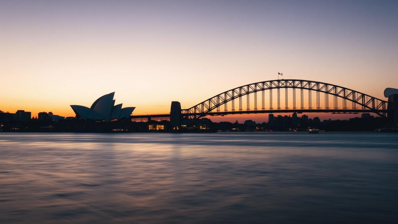
The return leg provides the best framing of the Sydney skyline. The Harbour Bridge and the CBD towers sit like miniature models in the distance, framed by the dark green fingers of Middle Head and North Head. The contrast is the essence of the South Head experience: one moment you are staring into the prehistoric eye of a migrating leviathan, and twenty minutes later, you are looking at the CBD's glass and steel.
Post-Walk Rituals in Watsons Bay
The trail concludes back where the world feels civilised again. Watsons Bay is the finishing line, a suburb that feels more like a fishing village than an urban precinct. Follow the smell of salt and vinegar to Doyle’s on the Beach, a Sydney institution since 1885. While the main restaurant requires a reservation, the takeaway hatch on the wharf serves the same barramundi and chips.
Take your paper-wrapped parcel to Robertson Park. Find a spot under a Morton Bay Fig tree and watch the Watsons Bay Ferry—the F7 line—chug across the water toward Circular Quay. If the sun is setting, the sky over the city turns a bruised purple and orange, but the real show remains behind you, out past the lighthouse, where the whales continue their long, lonely trek through the dark.
If you go
Timing: The peak of the migration is late June and early July. For the best light and calmest winds, arrive at sunrise. Gear: Binoculars are essential; 8x42 magnification is the sweet spot for tracking movement at sea. Wear sturdy trainers or hiking boots, as the sandstone can be slippery when wet. Transport: Skip the car—parking at Watsons Bay is a nightmare. Take the F7 ferry from Circular Quay; it is a 20-minute ride that serves as a scenic tour in itself. Sun Protection: Even in winter, the Australian sun reflected off the Pacific is fierce. Pack a hat and high-SPF sunscreen.